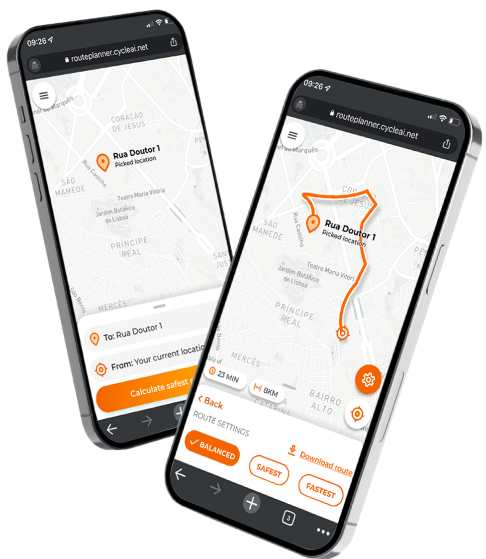
Safer navigation with AI
WE PLACE THE SAFEST, FASTESTAND SHORTEST ROUTES AT PEOPLE'S FINGERTIPS
Check our mentions in:


Our mission
CycleAI’s mission is to make cycling safer.
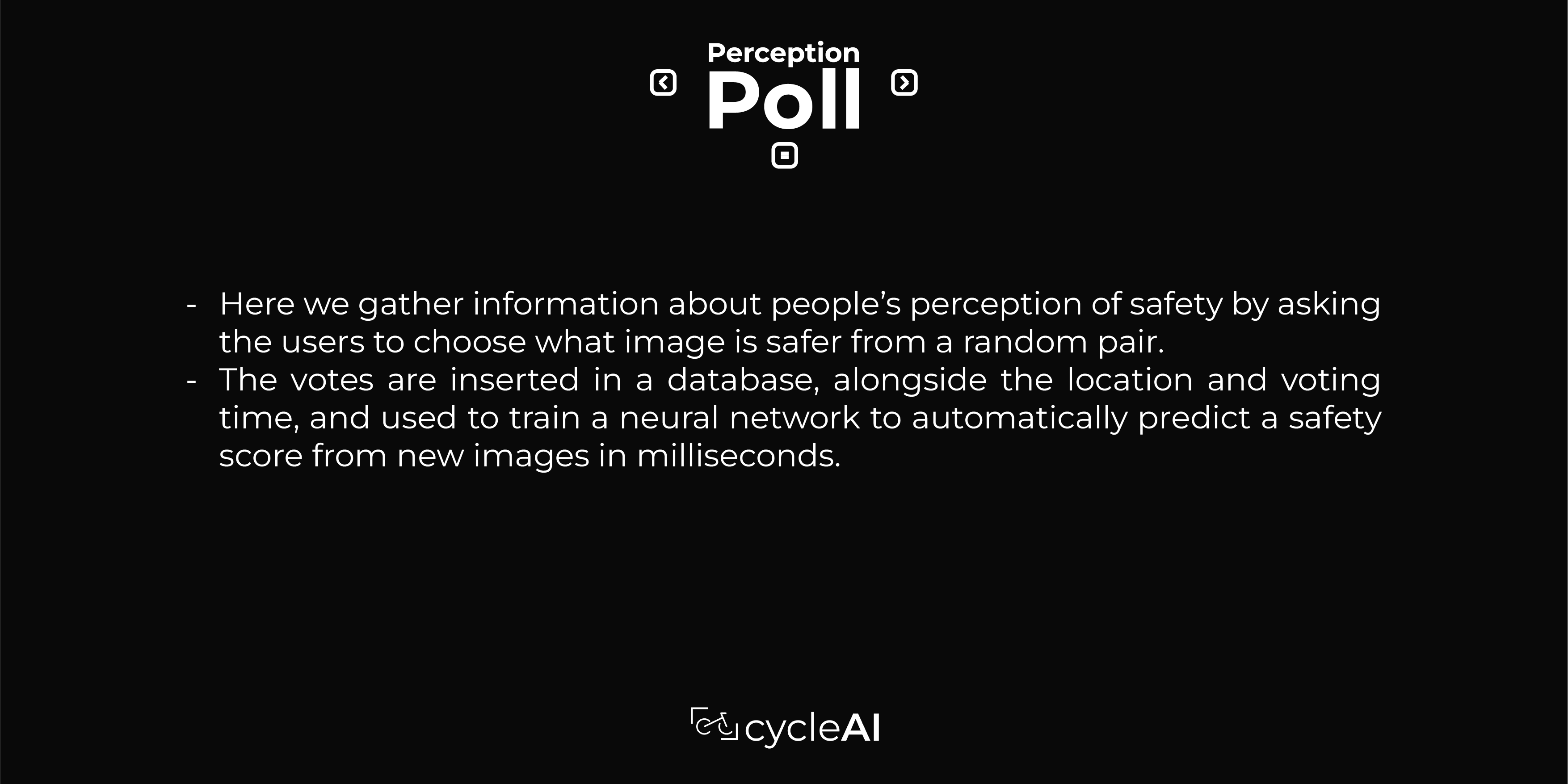
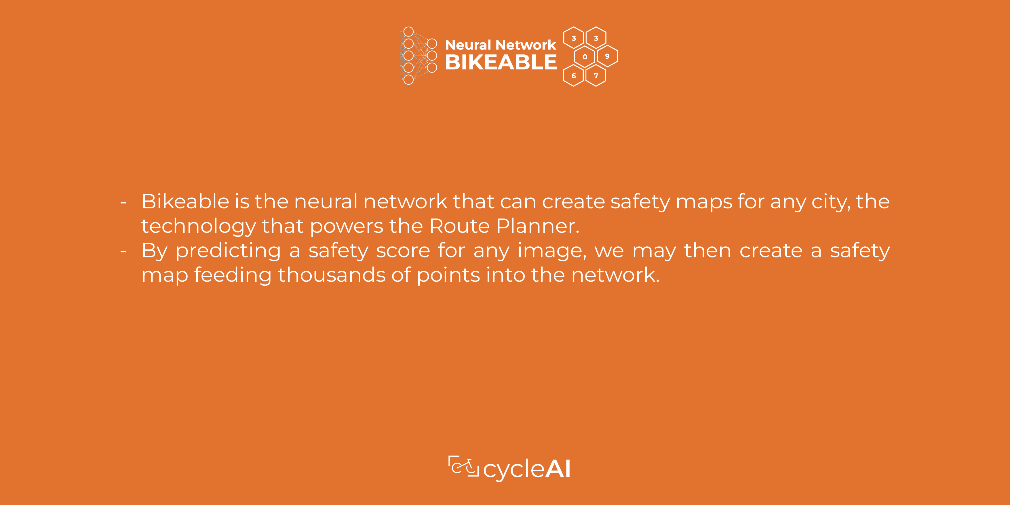
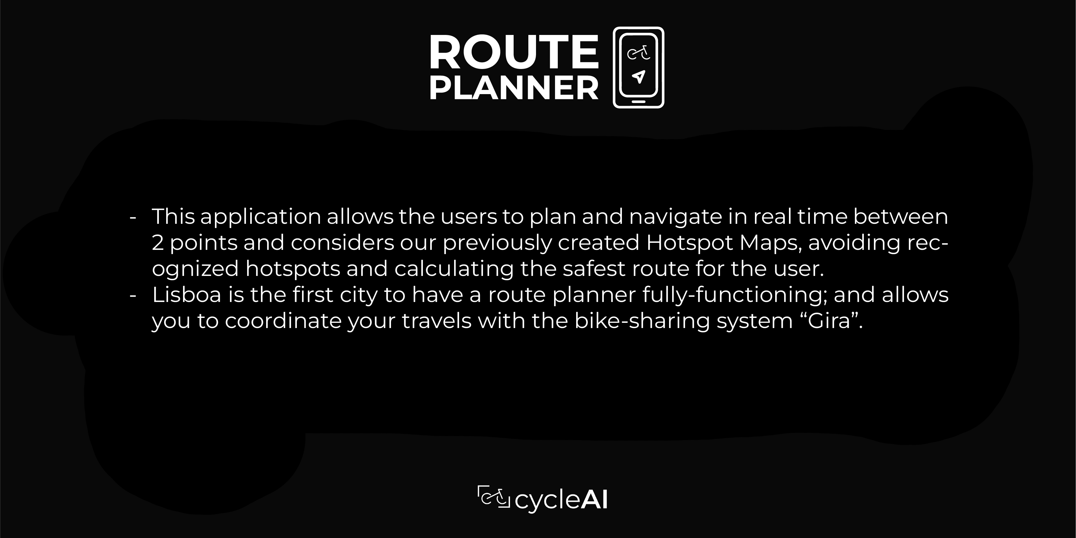
Our focus is shifted between adopting people’s perception of safety and guiding them through the safest routes.
To achieve this, we collaborate directly with our users through crowdsources and use AI to scale the results globally.
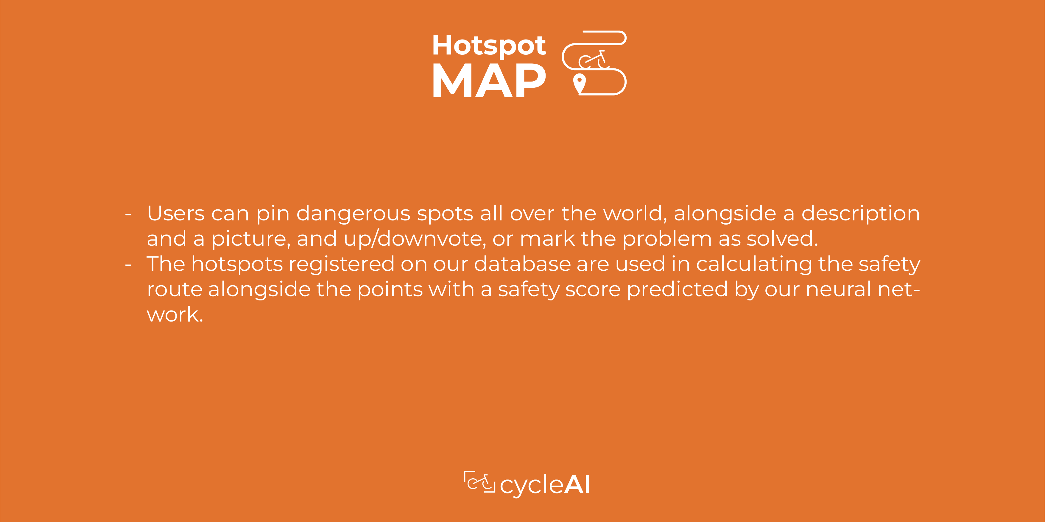
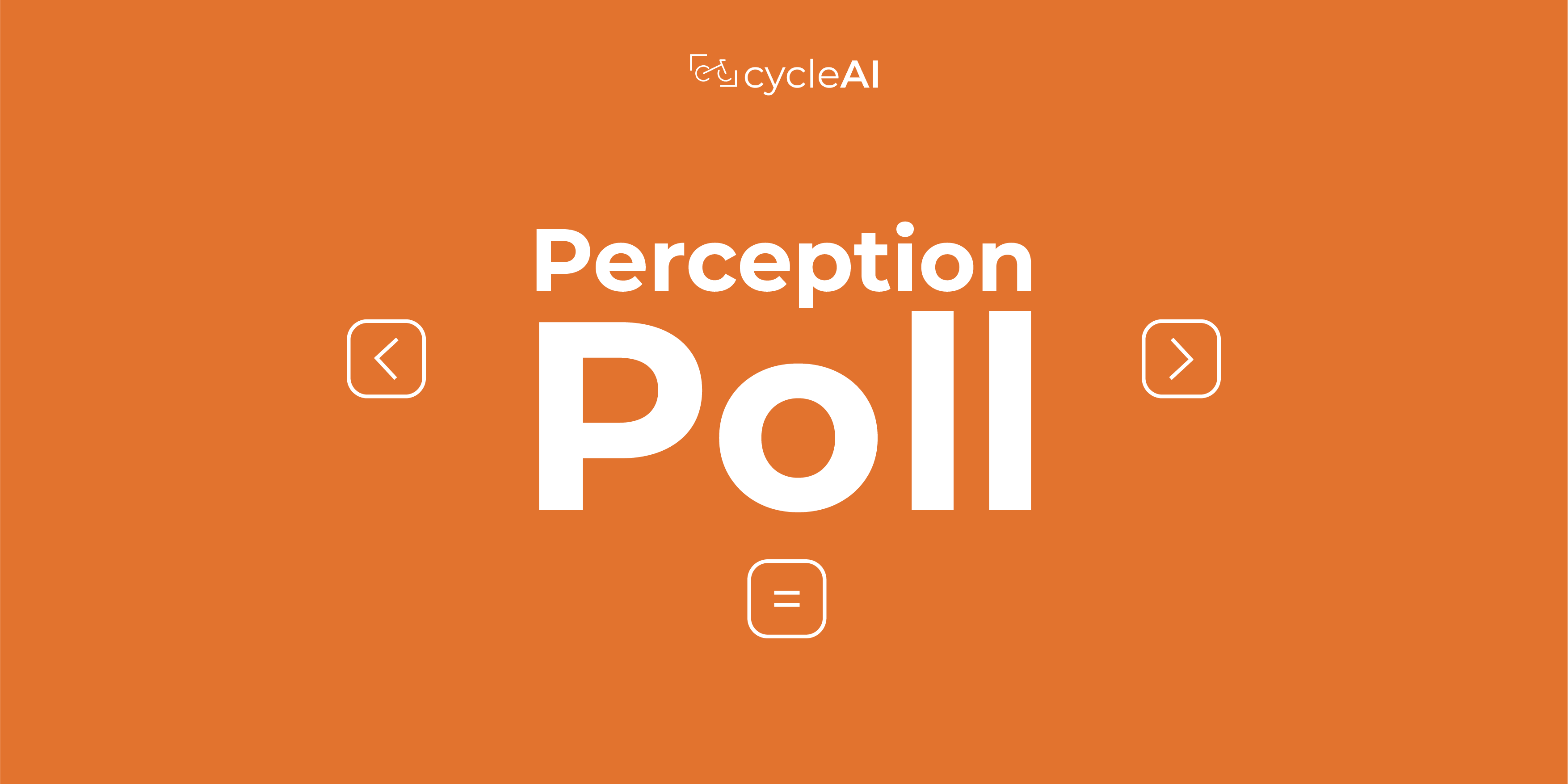
How we make it work


Our Partners