Route Planner
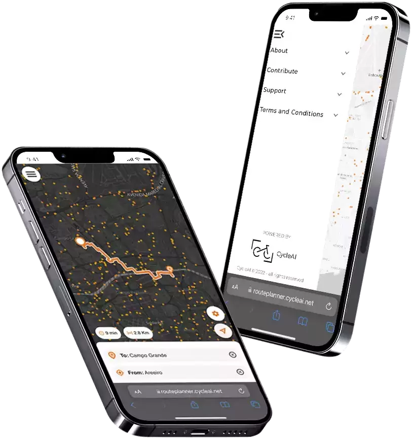
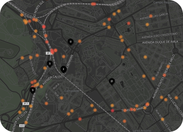
This application allows the users to plan and navigate in real time between 2 points and considers our previously created Hotspot Maps, avoiding recognized hotspots and calculating the safest route for the user.


Lisboa is the first city to have a route planner fully-functioning; and allows you to coordinate your travels with the bike-sharing system “Gira”.
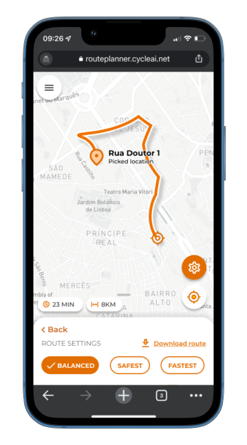
There are 3 options for planning the route: safest - points with a safety score higher than 7; balanced - points with a safety score higher than 5; quickest - points with a safety score higher than 3. Users may also visualize the time and length of each option.
After the route has been planned, there is an option to download it in multiple formats, allowing users to run the maps with their own navigation systems


