About Us
Our model was able to predict with 100% accuracy the safety scores for the top 5 safest and unsafest images from the Bikeable training dataset. Next step consists in validating our tool with unseen data.


Our mission
CycleAI is on a mission to empower micromobility users for their safety through AI.
Every cyclist can use our Route Planner to either commute to work/school or travel longer distances. It is currently available as a web application, with its expected mobile version expected to be launched by the end of the year. The safest, balanced and quickest options are available to suit every user’s need at any particular moment.
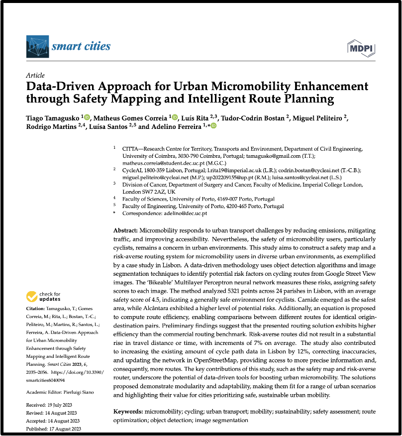
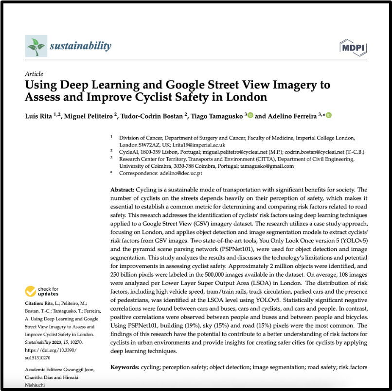
The technology that powers the application is Bikeable, our AI model, which is able to create safety maps for every city in less than 1 week. The performance of the neural network is 75%, and we are constantly looking at ways to further improve it.
Currently we have developed a state-of-the-art safety map in Lisbon, while the one for Prague is just weeks apart.
We invite everybody to contribute to further improving our maps by voting in the Perception Poll. The process is simple, just choose which image looks safer to you from the provided pair. One minute of your time will help creating better, safer safety maps!

Our targets
Goal: 200
HotspotsGoal: 1000
Hotspots VotesGoal: 10,000
Poll VotersGoal: 200,000
Poll Votes


